Day trip destination
Geisler mountain peaks: natural spectacle of the Dolomites
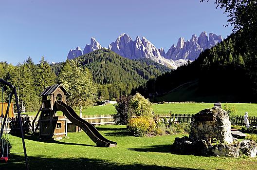
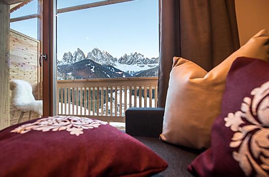
Even if you are concentrating hard on driving on the motorway between Vahrn and Klausen, you cannot fail to notice them in your left field of vision: the elegant rocky spires of the Geisler mountain group are more than just a much-loved postcard motif.
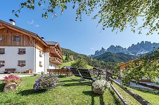
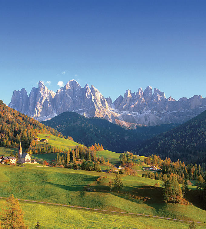
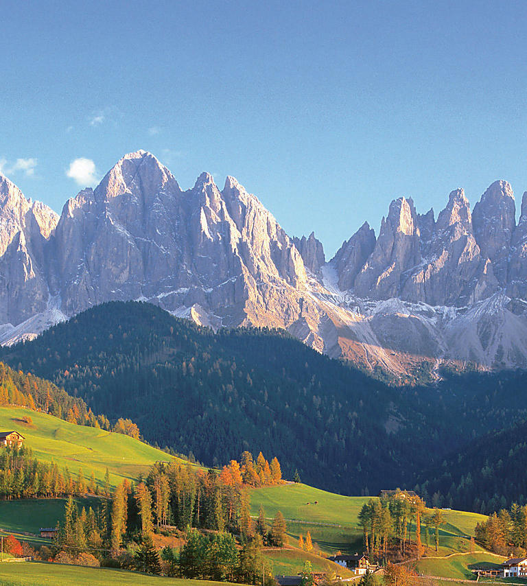
Slim, almost like sharp needles, these 19 rocky siblings of the Geisler family rise up towards the sky. The Geisler peaks are part of Puez-Geisler Nature Park and form a ridge between the valleys of Villnöß and Grödnertal.
The main peak is Sass Rigais, standing at 3,025 metres in height in the eastern part of the mountain range. Other peaks are the Wasserkofel, Odla di Valdussa, Furchetta, Sas de Mesdì, Villnösser Odla, Villnösser Turm, and the Große and the Kleine Fermeda. In the Ladin language, the peaks are fittingly called 'Odles', or 'needles'!
The rock faces of the Geisler were the ones that challenged Reinhold Messner to set out on his first forays into mountaineering as a child. It's therefore no surprise that the Geisler peaks have since been conquered by countless climbers on a variety of different routes. Two 'via ferrate' lead to the Sass Rigais that may both be done in one day if you start with the challenging eastern ascent and descend by the 'via ferrata' to the south.
If you prefer to keep your feet on the ground, you can choose from a number of hikes in the area around the Geisler peaks.
A circular walk
A wonderful circular walk goes around the Geisler peaks via several mountain refuges and pastures. The ascents are gentle, the plant life luxuriant. This mountain hike may be done as a two-day tour as well, as there are places to stay overnight at along the route.
The route leads from the Zanseralm pasture via the Gampenalm pasture to the Schlüterhütte refuge, then over Bronsoijoch pass, Kreuzjoch pass and Wasserscharte col to Cislesalpe mountain. The way back leads onto Adolf Munkel Weg path via the Panascharte col.
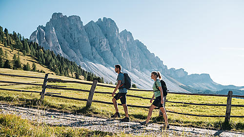
Adolf Munkel Weg path
Adolf Munkel Weg path at the foot of the imposing north face of the Geisler peaks is a particularly pleasant one. This path is especially family-friendly, featuring just 400 metres of ascent. It boasts varied landscape and lots of huts to stop off at along the way. The tour starts at the woodland inn south-east of St. Magdalena in Villnöß. Follow signs to Broglesalm pasture from the car park along a wide forest trail into the valley a little way, then along Broglesbach stream up to the start of Adolf Munkel Weg path.
The path then continues, alternating between flat and slightly uphill stretches in the area around the edge of the forest beneath the Geisler peaks towards the east. You have the option of going down to Gschnagehardtalm, Geisleralm and Glatschalm pastures or carrying on up to Gampenalm pasture.
Geisler peaks
Further information
The Sass Rigais is the main summit of the Geisler and with its 3025 m an absolute must for anyone who wants to conquer the pale mountains. Sure-footedness, head for heights, experience in the mountains and the use of a climbing harness are required.
Through the Eisacktal/Valle Isarco valley to Klausen/Chiusa; turn into Villnöss/Funes valley and drive to St. Johann – Ranui (car park subject to charge)


